UN
35 Nuffield Road
£ 175,000
Description
We don't have a Description for this property.
- Bedrooms
- 3
- Bathrooms
- 0
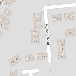
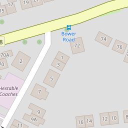
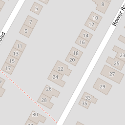
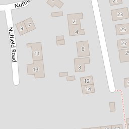
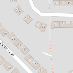
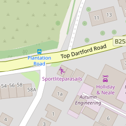
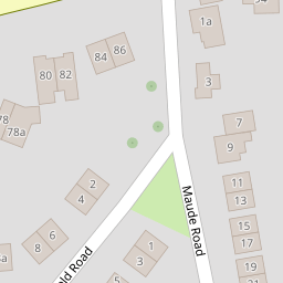
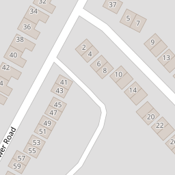

Leaflet © OpenStreetMap contributors
The heatmap indicates the level of crime in the area. The color of the heatmap indicates the crime severity and recency.
Metrics Year-on-Year
- Average area value
- 882,222.00 £Increased by 18.32 %
- Average area rental value
- 2,130.00 £/moDecreased by 15.31 %
- Est rental Yield
- 2.90 %Decreased by 28.40 %
- Crime Rate
- 16.00 %Unchanged by 0.00 %
from 745,607.00 £
from 2,515.00 £/mo
from 4.05 %
from 16.00 %
Nearby Schools
| Name | Type | Ofsted | Distance |
|---|---|---|---|
| Hextable Primary School | Community School | Good | 0.89 KM |
| St Pauls' Church Of England Voluntary Controlled Primary School | Voluntary Controlled School | Good | 1.08 KM |
| Wilmington Academy | Academy Sponsor Led | Good | 1.56 KM |
| Wilmington Grammar School For Boys | Academy Converter | Good | 1.64 KM |
| Wilmington Primary School | Academy Converter | Good | 1.76 KM |
Images
Nearby Streets
| Name | Average Price | Average Sqft | Distance |
|---|---|---|---|
| Main Road | £ 0 | 0 | 0.00 KM |
| The Beeches | £ 0 | 0 | 0.00 KM |
| New Barn Road | £ 0 | 0 | 0.00 KM |
| Park Lane | £ 875,000 | 0 | 0.00 KM |
Nearby Transport
| Name | NLC | TLC | Distance |
|---|---|---|---|
| Swanley | 5075 | SAY | 3.22 KM |
| Crayford | 5100 | CRY | 3.94 KM |
| Dartford | 5101 | DFD | 4.95 KM |
| Farningham Road | 5105 | FNR | 5.30 KM |
| Bexley | 5093 | BXY | 5.40 KM |
Nearby Listings
| Address | Price | Type | Score | Distance |
|---|---|---|---|---|
| Nuffield Road, Hextable, Kent, BR8 | £ 375,000 | BUY | Unknown | 0.05 KM |
| Fens Way, Hextable, Swanley, Kent, BR8 | £ 450,000 | BUY | 7 / 10 | 0.08 KM |
| Top Dartford Road, Hextable, Swanley | £ 825,000 | BUY | 8 / 10 | 0.10 KM |
| Top Dartford Road, Hextable, Kent, BR8 | £ 475,000 | BUY | Unknown | 0.19 KM |
| Bower Road, Hextable, Kent, BR8 | £ 350,000 | BUY | Unknown | 0.19 KM |
Nearby Properties
| Address | Price | Distance |
|---|---|---|
| 24 Nuffield Road | £ 355,000 | 0.00 KM |
| 9 Nuffield Road | £ 373,000 | 0.00 KM |
| 33 Nuffield Road | £ 162,500 | 0.00 KM |
| 7 Nuffield Road | £ 475,000 | 0.00 KM |
| 11 Nuffield Road | £ 420,000 | 0.00 KM |